Heat and storm risk for Nomads stays high in Oaxaca

Heat and storm risk stays high
Oaxaca’s Civil Protection coordinator, Manuel Maza Sánchez, has kept a maximum alert in place after an extreme heat wave pushed temperatures to 48°C in the Papaloapan Basin, with 35°C to 45°C also reported across coastal areas, the Isthmus of Tehuantepec, the Sierra Sur and the Central Valleys. The alert was issued in late April and remains active while the anticyclonic system keeps skies clear and rainfall scarce.
The Pacific cyclone season runs from May 15 to Nov. 30, with the highest activity usually in August and September. Mexico’s Servicio Meteorológico Nacional says 18 to 21 cyclones are expected this season and 4 to 5 could reach Category 3, 4 or 5 strength. There’s also a 61% chance of El Niño developing, which could bring heavier fall rain to Oaxaca.
Who faces the most disruption
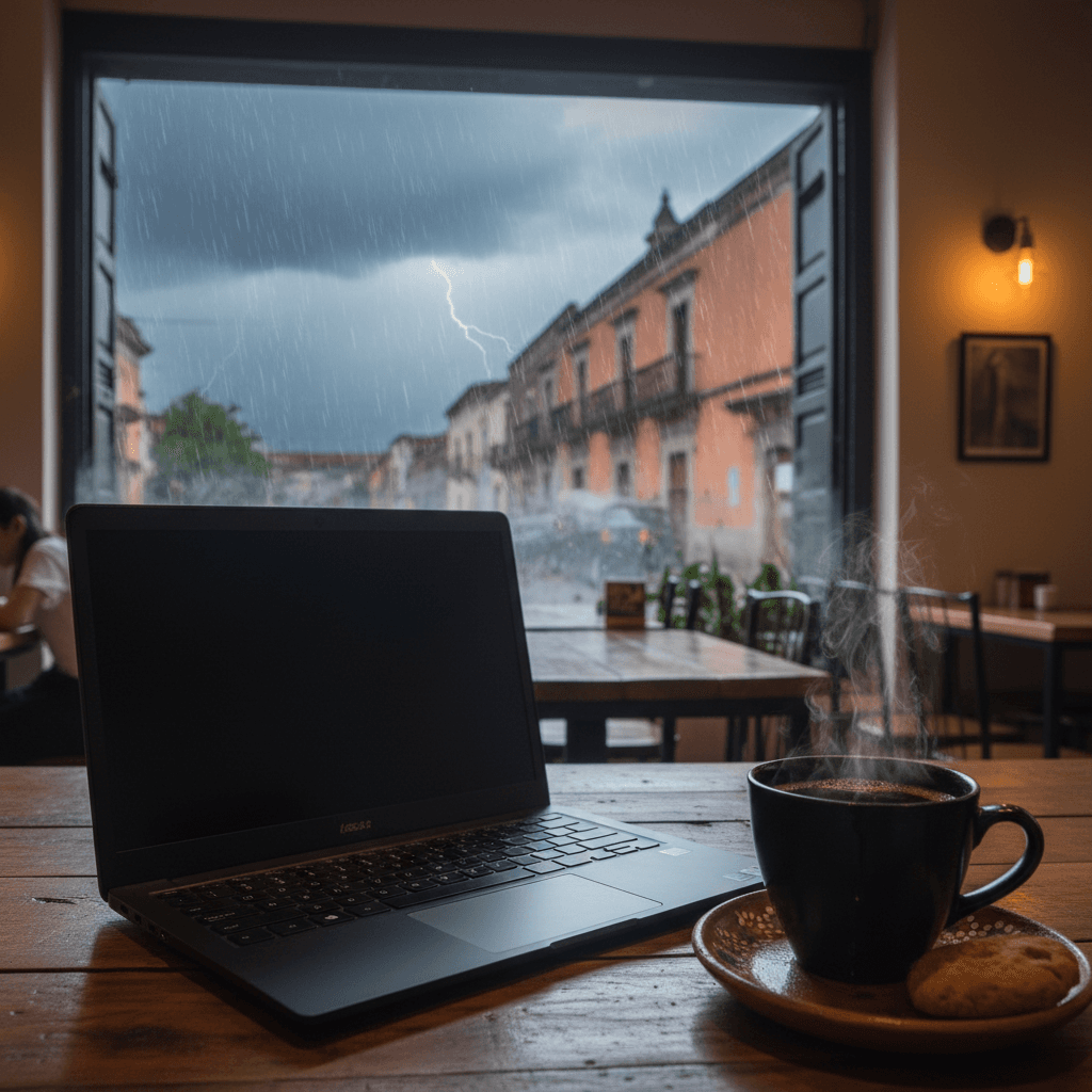
Coastal and low-lying parts of Oaxaca are most exposed, especially the coast, the Isthmus of Tehuantepec and the Central Valleys. For expats, digital nomads and travelers, the risks stack up fast: heat exposure, road closures, water outages and power cuts that can last days or weeks.
Internet service can go out with the grid and post-storm contamination can affect water and food access. Authorities also warned against crossing flooded streets or rivers after lightning deaths were recorded in 2025.
What to do before storms build
Civil Protection says to avoid long sun exposure, drink water often and skip outdoor exercise during peak heat. When storms are 3 to 5 days out, fill up on gasoline, withdraw cash, top off prescriptions and charge devices and power banks. When a storm is 24 to 48 hours away, secure windows, bring in outdoor items and fill bathtubs for washing and flushing.
Check the Servicio Meteorológico Nacional, Oaxaca Civil Protection, NOAA and the U.S. Embassy’s STEP alerts for updates. Read our full Mexico guide for the complete picture and see our nomad news for more travel alerts.
Frequently asked questions
When does Mexico's Pacific cyclone season run?
How many cyclones are expected in Mexico this season?
Which parts of Oaxaca face the most disruption from heat and storms?
What disruptions should digital nomads expect in Oaxaca during storm season?
What should I do before a storm in Oaxaca?
What should I do during peak heat in Oaxaca?
Can I cross flooded streets or rivers during storms in Oaxaca?
Stay updated on Mexico
Visa changes, travel alerts, and destination news — delivered when they actually matter.